Tag: Land’s End

The Last Post – before setting off

The Last Post – before setting off

Five more training walks, then off to Land’s End. I’m still working on my fitness levels and learning to manage the Achilles tendinitis, trying to build my confidence to a point where I can actually believe that I stand a chance of being able to walk all 1,278 miles.

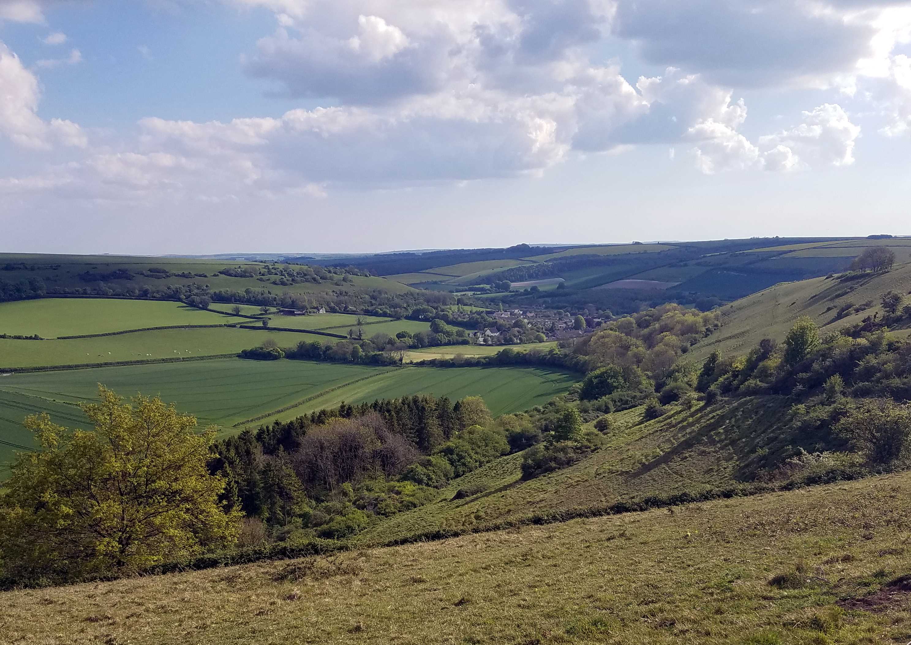
Yesterday, Saturday 11 May, brought superb walking weather, with blue skies, a few fluffy clouds and a cooling north-westerly breeze. This was to be my longest training walk – over 25 miles, with 2,500 feet of ascent. I call it my ‘Cerne Abbas Squarea’, because it’s not circular. Liz dropped me off just before 8.30 at Cerne, below the brazen Giant, on her way to a meeting in Poole. I set Viewranger going and headed for Minterne Parva and Up Cerne. Disconcertingly, the heel was decidedly uncomfortable so, when I stopped for a break just before 11, I popped a couple of Ibuprofen tabs. I’d always scoffed at people who insist on including painkillers in their packing list for walks, but now I have to do precisely that, solely for the anti-inflammatory effect. Almost immediately I was walking without pain, although it didn’t alter my pace – I was up around 3½mph all along this easier half of the walk. The serious ascents are all in the last few miles.

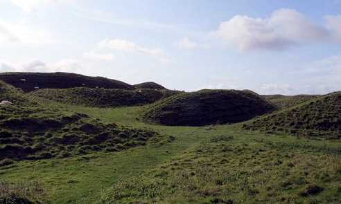
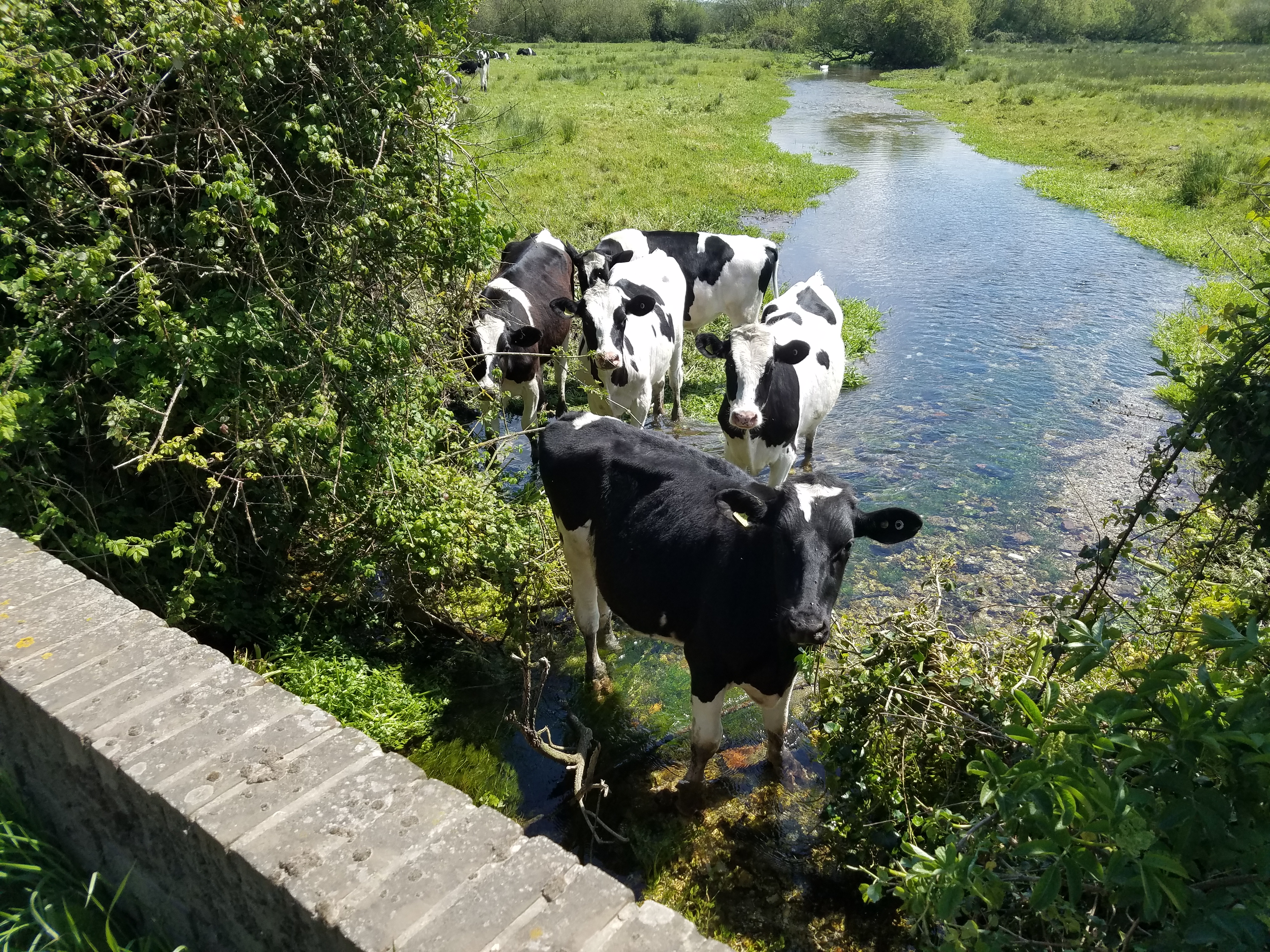
Conveniently, around the half-way point, on the Ridgeway just before Gaddy’s Lane, there are two small iron benches set beside the path, with a small tree between them and flowering plants on either side, overlooking Ridge Farm below and a fine view beyond. It’s as if it’s been provided as a memorial, but I’ve never found a plaque there. This time, though, the cold wind was blowing directly at me as I sat there, so I stepped back onto the path and sat on the verge, sheltered by the hedge, to eat lunch. A mile or so farther on, I was very tempted to take off my boots and join the cows:

Soaking hooves in the Piddle

As the day wore on, I was expecting the grey mist of fatigue to descend as it always has before on this marathon walk. It never did. I can only assume that the daily stretching and strengthening exercises are having a beneficial effect, demonstrating that it’s not all simply about thigh and calf strength. I also carried more water with me this time and drank around 2.6 litres, which may have helped. At any rate, I reached the Royal Oak just before 5.30, so it had taken me nine hours altogether, just under 8½ hours walking at a rate marginally over 3mph on average. I’d taken a third Ibuprofen at 3pm, and finished the walk pain-free and with some energy left in the tank. By the the time Liz joined me for a meal at the pub, I was on my third pint of Bass (such a rarity these day, a real nostalgia slurp!) and feeling quite pleased, both with my fitness level and with my management of the heel. My pleasure was unbounded the following morning, when I had little fatigue, no stiffness and no heel pain. This is starting to look do-able!

Looking down on Cerne gratefully after 24 miles

I definitely feel over the crest now in my training. I’ll do consecutive walks of 13 and 15 miles next weekend, followed by 15 and 18 miles on the final weekend. Having woken up pain-free this morning, those are starting to look much less daunting. I can think back to my experience of doing the Pennine Way, when I found that my level of fitness, not too shabby at the outset, actually improved markedly as I went along.

Meanwhile Liz has a new pair of boots and has gone with Alex to give them a test walk up White Hill from Abbotsbury, so they’re both starting their preparations in earnest. She’s opted for Oboz Sawtooth for its robust, grippy sole, hoping it’ll give her greater confidence on steep descents.

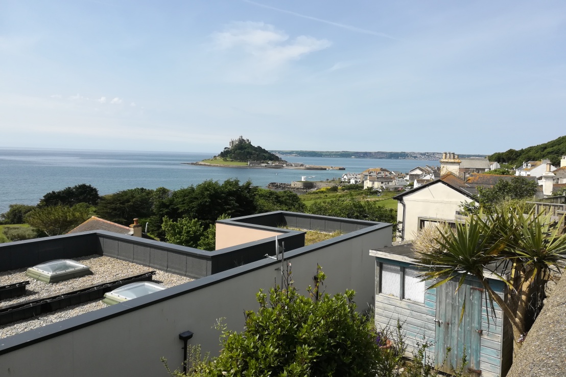
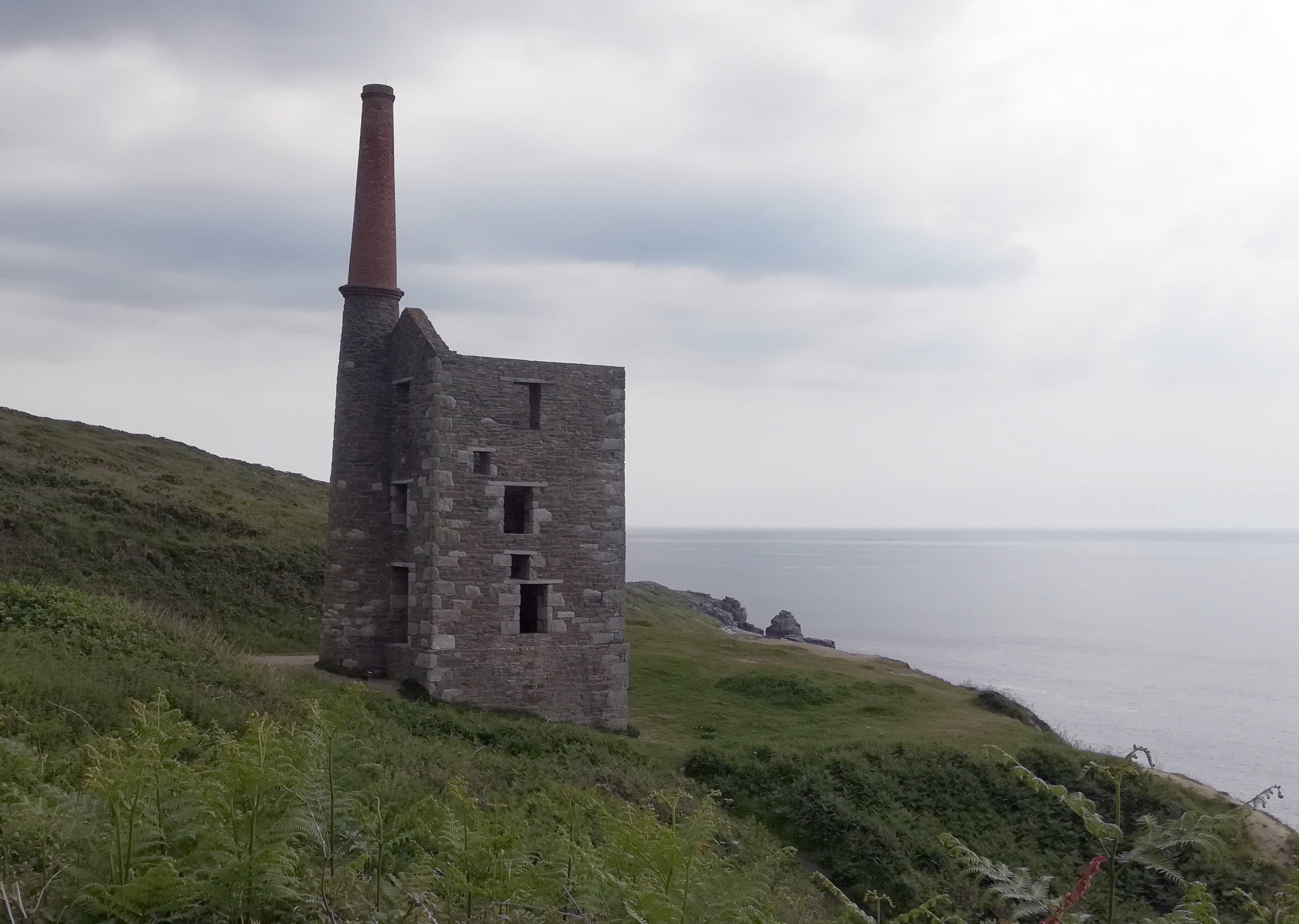
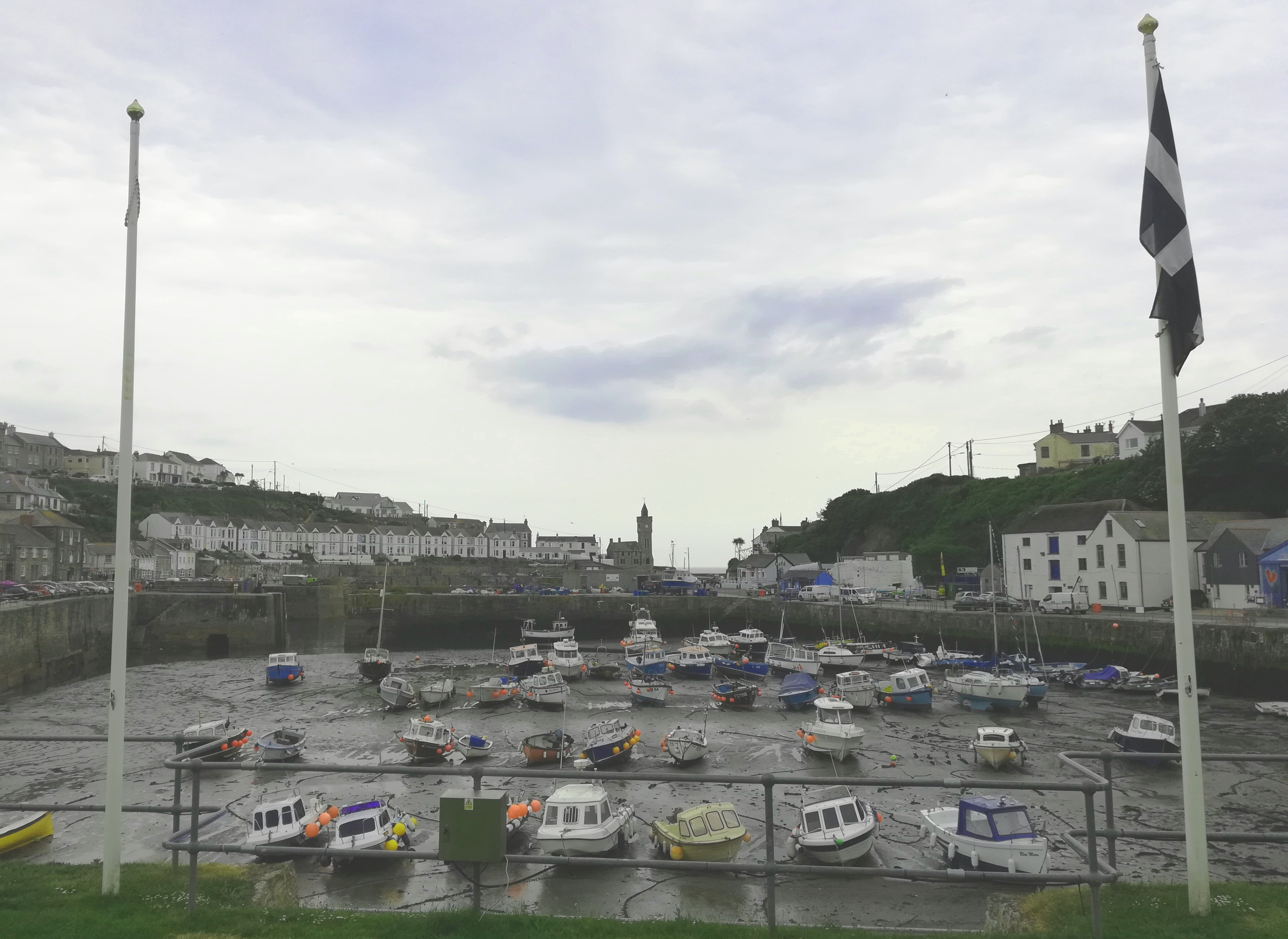
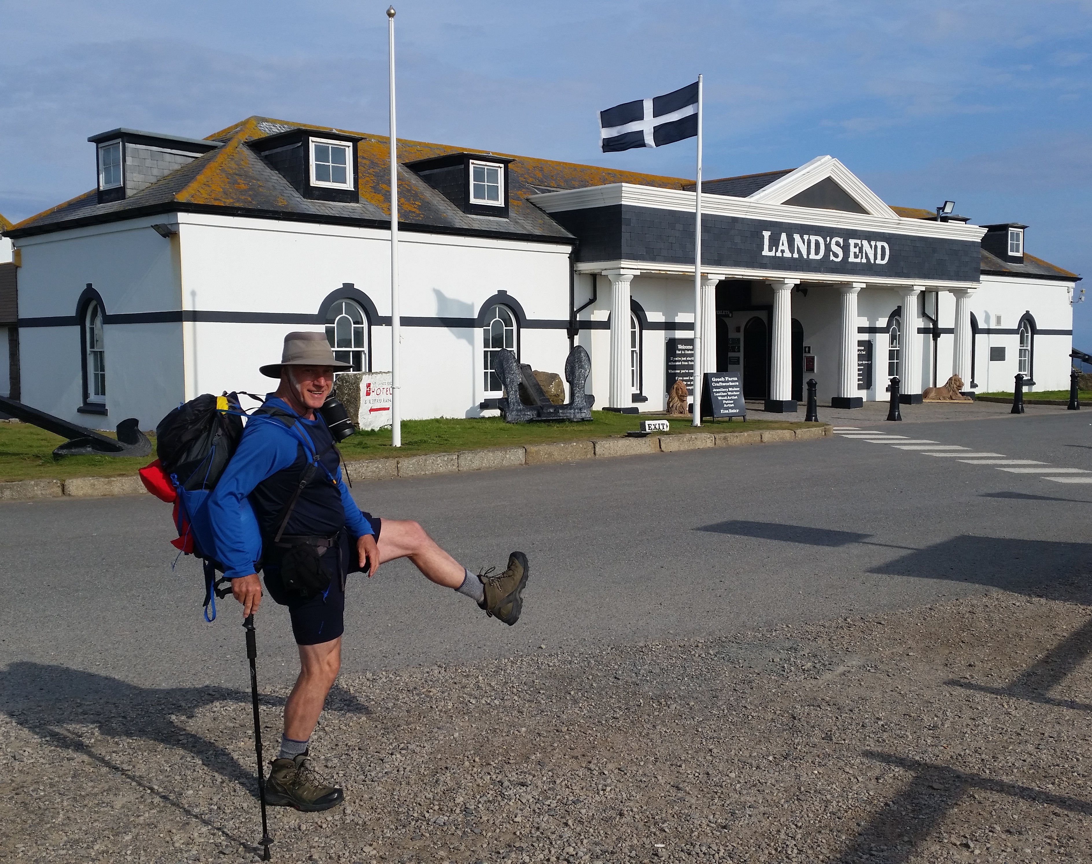
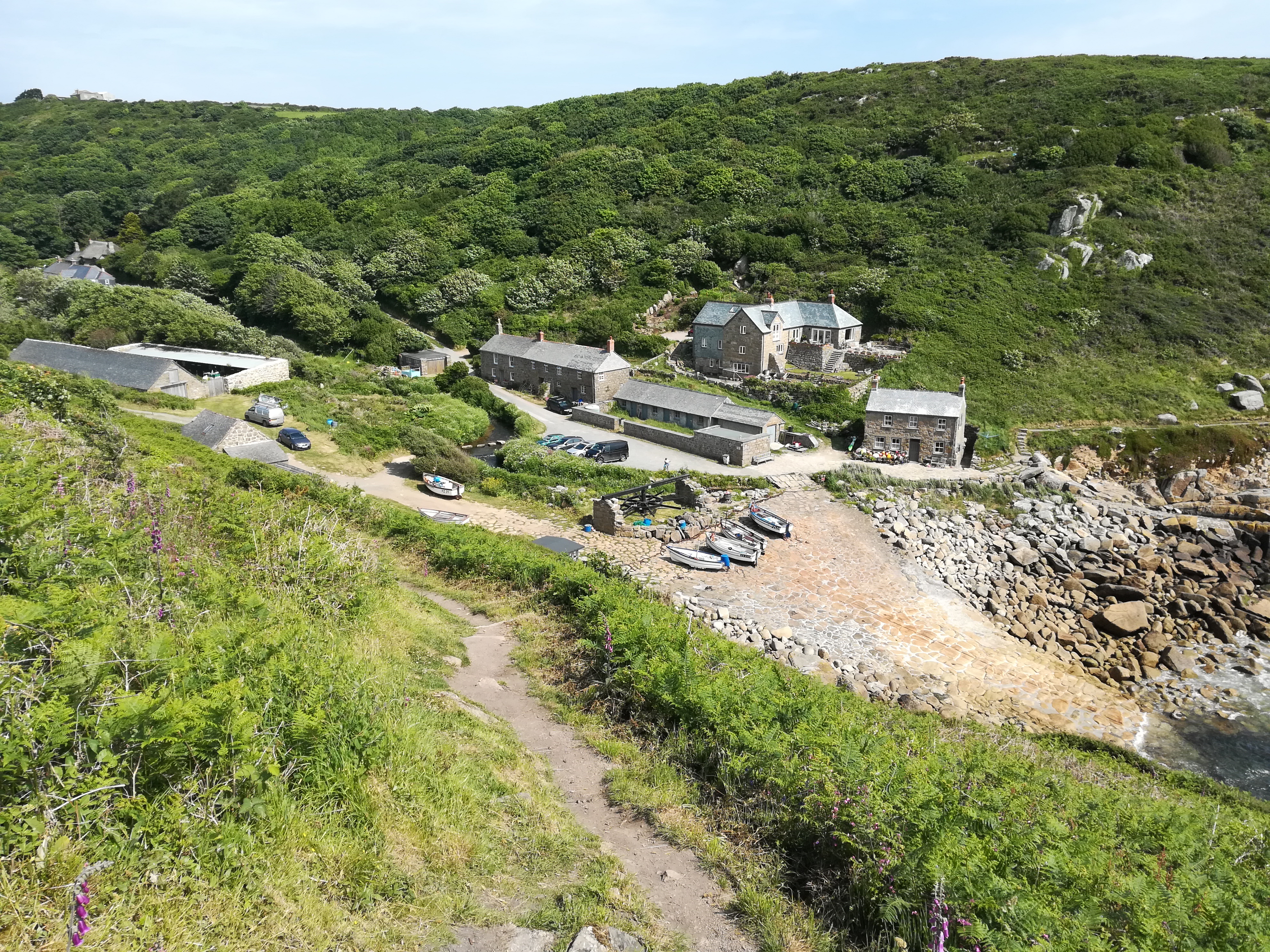
On Wednesday 29 May I’ll drive down to Cornwall with Liz and Calum, Alex being busy with his GCSEs. I’m loving the prospect of arriving at Land’s End and casually setting off for a short amble, carrying the lightest of day packs, to the youth hostel at Letcha Vean. A journey of 1,278 miles begins with a single 5-miler! Calum has yet to decide whether to join me for that first, brief stretch, while Liz drives down the narrow lanes to the hostel. The next day it’ll be fond farewells for three weeks, until I reach Monmouth, where they’ll join me for the weekend. The walk begins in earnest with me donning my 9Kg backpack, complete with one YHA packed lunch, and covering 11½ miles to Boswednack. Ok, 2,300 feet of ascent within that distance means there’ll be some good climbs, but that’s precisely what I’ve been training for. On Friday it’ll be 14 miles to Hayle with just 2,000 feet of uphill, so that’s a couple of quite moderate days to ease me into the swing of LEJOG. The weekend will bring the first real tests, with two 17-milers, each with around 3,000 feet of ascent, taking me to Newquay. By then I should have a pretty good idea of how my Achilles tendinitis is going to cope with the sheer day-after-dayness of the challenge.

Coping with separation will be another matter. After setting off, I won’t see Liz and Calum for three weeks, after which they’ll meet me near Monmouth. We’ll then be nearly two weeks apart before they join me for the weekend in Derbyshire/Sheffield, when we stay with my son Barnaby and his family. It’ll then be 23 days until they and Alex join me for the West Highland Way, after which they’ll hang around to take in the ‘Hogwarts Express’ to Mallaig – and another day for our wedding anniversary! Another 12 days and Liz will again bring Calum to meet me in Wick, before waiting for me at John o’Groats and, finally, flying south. With so much meticulous planning, all I need to do is keep putting one foot in front of the other. Simple!

Previous | Next

Humbled – but fitter

Humbled – but fitter

Maiden Castle, with sheep for company

Three more training walks since my last post, together with daily exercises to stretch and strengthen the legs. It would be tremendous just to set off on a long distance trail with no prior training, relying on being ‘naturally fit’, as Peter Sellers was fond of describing himself – before sadly dying following a heart attack at the age of 54. Now at the ripe old age of 65, I have to acknowledge that the time bell has taken its toll and that, if I’m to stand any chance of walking 1,279 miles from Land’s End to John o’Groats, I need to work at my fitness. And at managing the Achilles tendinitis.

The first of the three was a mere 11-miler, but with four serious climbs out of Lulworth on the way back to Weymouth. Knowing that my leg muscles were some way short of their usual strength, I was quite pleased with the way they coped with the ascents, although admittedly I did stop for a cereal bar three-quarters of the way up the fourth one. It turned out to be a pleasantly sociable walk because, besides the usual amiable exchanges with fellow walkers along the way, my second son Barnaby and his family arrived from Sheffield and met with my current brood at The Smugglers Inn in Osmington Mills. Thanks to the wonders of smartphones, they all arrived at the same time and joined me just after I’d swallowed a restorative coffee at the pub. We all sat outside in the unseasonably balmy sunshine, catching up on the children’s respective achievements and progress, although I have to say that being called ‘grandad’ takes a bit of getting used to – I still look over my shoulder, wondering who they’re talking to.

The second walk was, initially and at the end, in the company of Liz and Calum, both of whom need to improve their walking stamina in preparation for joining me for the West Highland Way at the end of July. We set off for a repeat of the Smitten Corner/Abbotsbury walk, but this time I inserted a three-mile loop in the middle to make mine an 18-miler. After we’d separated, I was joined for an hour by a very amiable farm dog that obviously likes company on her walkies, and wants to go farther than her owners are prepared to take her. I called her Topsy. I was approaching the ridge above Abbotsbury at an angle, still with Topsy in tow, when I saw a group of a dozen or so hikers striding out along the ridge. I was slightly puzzled, because they were moving faster than I’d ever seen a group of Ramblers Association members walking before, to the extent that it took me half a mile to catch up with them. By that time Topsy had taken up with a small family heading the other way, taking her closer to her home at Top Parts. The hardy hikers told me they were a group of Long Distance Walkers Association members from South Wales and that they were on a 54-mile circular hike from Weymouth. I took my hat off to them – that certainly put my modest 18-miler into perspective! I told them of my plans for LEJOG next month, to which one responded that I was taking the right approach by doing training walks. Wishing them luck, I forged ahead, because I didn’t want to keep Liz and Calum waiting too long in Abbotsbury.

Down off the ridge at East Bexington and along the road behind Chesil beach, the going was tougher than usual due to a stiff easterly breeze. I reassured anyone who’d listen that, if the prevailing wind’s in the east after March, we’re likely to get another good summer. After a coffee at the cabin, I met up with Liz and Calum and we set about tackling White Hill. Both Liz and I had found it testing a fortnight earlier but, a sign that we’re both getting stronger, we both toiled up it without a pause. Calum was fine with it, but he and his mum are both yet to start carrying full backpacks on their practice walks. I was weary by the end, but doing the warm-down exercises recommended by the sports masseur meant that neither Liz nor I had to endure stiffness the following day.

Next came a consolidating 18½-miler from home to Dorchester via Bincombe, with a stop for coffee at the Trumpet Major and return via Maiden Castle, Friar Waddon and Nottington. Liz set out with me, undecided at that point whether she’d do the full distance, take a shorter route or even a bus back. In the end she did the whole thing but really struggled for the last four miles or so, giving her an idea of the work she has still to do; the longest day on the WHW will be the same sort of distance, but with more ascent. I found the walk easier, but my Achilles was painful for a couple of days after, which is a little concerning. I’m now left with three tough walks, followed by two sets of two walks on consecutive days; these last ones will be the most interesting to see how my heel behaves on the second day. I found the setback a little disheartening, particularly as I’d thought the heel much improved the previous week. Still – whatever it takes, I’ll do it!

Oh, and one other minor problem. I have a vulnerable toe that I’ve managed to break a few times. I accept that the first time was my own fault; we were staying in a caravan on holiday near Les Sables d’Olonne in France, when I reprimanded the boys and told them to tidy their room, attempting to usher Alex through the door with a salutary barefoot kick up the backside, only for my foot to meet the door jamb first. “Serves you right!” said Liz. Ever since then the toe cracks and turns black at the slip of a heel, and that’s what happened on the stairs on Tuesday during my exercises. It’s not terribly troublesome and doesn’t affect my walking much, but it’s something I could have done without at this stage of my preparations. All of life’s a test of your mettle, I suppose, or in my case, of my brittle bones.

Previous | Next

SWCP – Postscript

Me at Land's End
Me at Land’s End

Lessons Learned

So, that’s another long distance walk (LDW) under my belt, this one being 20+ miles (33km) and a full day longer than the Pennine Way (PW), with 7,500 feet (2,330m) more ascent. And I took camping gear this time, increasing my average pack weight by 8lbs (3½kg). Bearing in mind that this was a practice for the greater challenge of walking from Land’s End to John o’ Groats (LEJOG) next year, what lessons have I learned from this one, if any?

Physical stresses

The most important lesson, I think, is that I need to take measures to avoid a repeat of the stress fracture. There are a number of things that’ll help in that regard:

  • Incorporate rest days. I deliberately planned no rest day this time just to see if I could hack it, on the principle that you get fitter as you go along. Had it worked out, I would have allowed few, if any, rest days for LEJOG, whereas now I’ll add one for every seven days of walking, approximately.
  • Carry less weight. For the SWCP I reduced the weight of non-camping gear so that, once tent, sleeping mat and bag, Jetboil and food had been added, I would only be taking 3½kg over the weight of my PW backpack, which was 10kg. Without camping gear, I’d now hope to reduce the pack weight to around 8kg.
  • My fitness level for the SWCP was pretty good, thanks to walks to and from work, using the cross-trainer, doing regular press-ups and practice walks, but I’d originally intended to lose another 5-6lbs (2½kg) in weight, down to 12½ stone (80kg). That’ll be my aim for next year.
  • I probably didn’t have enough calcium in my diet; I’m eating more cheese and yoghurt now to help fix the stress fracture, and will try to maintain that level of consumption.
  • Take it easy. LEJOG will start off with the northern side of the SWCP, including the notorious ascents around Bude and Lynton, but there’ll be no need for me to walk against the clock or to overtake everyone in sight. Take a deep breath and avoid strains and stresses.
  • Consult an orthotics bod. And do exercises specifically aimed at strengthening the anterior tibialis. And maybe get a calf support/compression thingy.

Fluid

On hot days, particularly those with many hills to climb, I was tending to run short of fluid. I’ve already bought a 2 litre Camelbak to replace the 1½ litre one I’ve been using, to complement the 600ml bottle on a Quechua shoulder holster I use for isotonic and the reserve 500ml plastic bottle that I only fill on longer/hotter days. That ought to suffice, particularly if I manage to find the opportunity to buy coffee and/or beer most days. Yes, yes, I know coffee’s a diuretic and therefore not good for re-hydration, but I’m an addict.

Boots

Thorny subject. As I’ll be walking in late spring and summer, lightweight footwear would make sense, but I want good ankle support and I would prefer to keep water out on wet days. I have no problem with wearing stout boots in warm weather, so I’ll probably go with my Altberg Tethera. In the highly unlikely case that next summer proves to be as dry as this one, I might be persuaded to wear the lighter but porous Salomons in the south, as long as Liz can bring out the Altberg a) if the weather changes and b) before I venture up into the boggy North.

Waterproofs

This raises the allied question of how to improve overall impermeability. I only had a day and a half of drizzle on the SWCP and no heavy rain at all, yet my kit still failed. The Mountain Equipment Lhotse jacket was fine, but the idea of wearing quick-drying nylon shorts with gaiters only held up for a couple of hours. And the draw-cord on one of the gaiters snapped. I now have new Rab gaiters to wear under a pair of lightweight Berghaus waterproof trousers in rain, or just with shorts when they only have to contend with long, wet grass. Or is it worth considering, in summer, switching to walking sandals and quick-drying materials and just getting wet?

Ticks

I guess I’ve been fortunate not to have experienced a tick through wearing shorts, but I do carry a tick removal tool. I don’t think I can be persuaded to switch to long trousers in summer – except, perhaps, by a tick. Snag is, I don’t have the patience to check my legs routinely at the end of each day. Maybe that’s a lesson I still have to learn.

Elevation measurement

Next lesson – don’t rely on the Viewranger app for measuring ascent on walks. It’s ok when you plot a route on the Viewranger website, using your pc or laptop, because the amount of ascent is calculated on the basis of countours crossed on OS 1:25000 maps, with a small error margin due to the gradients occurring within the contours. I found that the ascent given on the app at the end of a walk was at least 50% greater than measured on the planned route so, for example, Lulworth to Swanage is around 3,800 feet on the map, but nearer 5,800 feet on your phone when you’ve walked it. This gave me palpitations when I started to think that I’d have to increase the Bude section next year to close on 7,000 feet, until I read about the inaccuracy of gps elevation readings. 4,300 feet over a distance of 15 miles is quite enough, but do-able – especially when I’ve just done 4,000 feet of ascent over 21 miles with a stress fracture! So, don’t panic and trust your original estimate.

Food

Ever since 1976 I’ve taken too much food on walks. In fact my entire life is organised around food and any plans I make must incorporate meals as a sine qua non. Even on the SWCP I carried evening meals and enough muesli and coffee for every night I planned to spend camping, daily rations  and cereal bars for each day of the week ahead, supplemented by bread, cheese and apples as I deemed necessary. Were I slightly less anal, I could take just one day’s rations and rely on buying daily replacements, further reducing my pack weight. One of the difficulties with doing that is the lack of reliable information on the Web about local shops in villages, due partly, no doubt to their closure rate. I know there are those who would say ‘man up, take a risk, go hungry for a while’, but I’ve tried that and it doesn’t enhance enjoyment of the walk. I’m sure there’s a happy compromise possible, one that would allow me to take less food but enough to sustain energy and concentration levels.

Rucksack

I won’t want to take the Bergans Helium rucksack again, and not just because 55 litres will be too big. Perhaps the single most irritating thing on the SWCP and my practice walks was the squeaking noise made by the fabric stitched around the rucksack’s metal frame as it slid up and down. I tried oil and silicone spray, but it made no difference. I’ll either revert to the 45 litre Highlander, which works quite well for me, or, if that’s too big, check out something like the Osprey Exos 38 or Stratos 36. Or perhaps the Lowe Alpine AirZone Pro 35-45 for its flexibility. I have to take account of the fact that I want to camp on four consecutive nights at the start of the PW, after which I’ll leave camping and cooking gear to be collected; that means I’ll either need a rucksack with compression straps that can expand to accommodate the extra gear, or have straps to enable it to be attached above and below.

Walking Stick

I have a love-hate relationship with sticks. I will NOT use poles under any circumstances, and I always end up losing sticks, which I find pretty annoying anyway. Having said that, they are a help on steep, stepped descents, on boggy ground as a depth gauge and for poking the noses of yappy dogs. I’ll probably take and lose one again. Is it worth buying an expensive Leki stick to encourage me to look after it better?

Hankies

I lost so many hankies on the SWCP that a walking forum correspondent queried how I’d achieve an 8kg pack weight when I’ll need to allow 2kg for hankies! Maybe I’ll just switch pockets and have one protruding from my breast pocket like Poirot, where at least I should be able to keep an eye on it!

Accommodation

The experience at Newton Ferrers, where the farm advertising a campsite on the Web had decided to stop providing space for tourers and campers and was instead erecting chalets, has taught me that, even if I’m not booking ahead, I still need to confirm availability. I’ll start booking b&bs before Christmas for particular pinch-points where there are few, if any, alternatives available.

In conclusion, then, I’m feeling upbeat about my ability to get started on LEJOG and, once I get started, I’ll be pretty determined to complete it.  I just need to fix my leg in the same way I fixed my knees prior to doing the PW. Wish me luck!

Previous | Next

SWCP Day Two – Penzance to Porthleven

SWCP Day Two – Penzance to Porthleven

I’m so glad I picked up the tip, from Walking Forum, about including ear plugs in the packing list; there were three of us in a dormitory for six, at least one of whom was a snorer. Of course, after five pints of ale the previous evening, there’s every chance that I joined in with two-part harmony, but I have no way of knowing. Here’s another tip: if you’re in a hotel/pub/b&b/hostel with motion detector lighting in the loo, and if you should need to pay a visit during the night and, moreover, if you should happen to drift off to sleep whilst seated in there, don’t panic when you wake up in the dark with no memory of where you are – just wave your arms about, preferably without screaming. Waking up in the night does, though, have the advantage of providing the opportunity to take your phone off charge, assuming it’s reached 100%.

Awake before 7am when the earliest breakfast isn’t available until 8, I retrieve my washed kit from the drying room and re-pack. The most time-intensive part of getting ready is pre-emptive treatment of the feet – foam tube for the overlapping toe, moleskin padding on a spot that felt warm yesterday and a Compeed plaster for the painless blister that’s developed over hard skin on the inside of a heel pad. I try always to pay heed to the ‘Treat your feet like royalty’ admonition I found in someone’s account of their Pennine Way journey. Then, of course, there’s the factor 30 sun cream, used as much for its insect-repellent properties as for its UV protection. Finally ready for the day, I head downstairs at 7.45 complete with Backpack, anticipating that I’ll be able to set upon the cold buffet elements of the breakfast offering before the full English becomes available but, incomprehensibly, the dining room door is locked and remains so, resolutely, until 8. Oh well, with 15 miles to do again today, there’s no particular time pressure today, particularly since there’s less than 2,000 feet of ascent. Chatting with another impatient hosteller, a somewhat rotund American engaged upon walking a few modest stretches of the coast path, I repeat my story: that I was going to do the whole SWCP next year as a retirement project but thought that Land’s End to John o’Groats would be more fun, so am doing Land’s End to Lyme Regis this year as a practice. Since there’s time to spare, I add that I’m carrying camping and cooking gear this year specifically to make my pack lighter, hoping thereby to boost morale next year.

Maxed out with calories, I set out well before 9am under blue skies and head back down to the coast path. I miss the path on the way out of town and follow the road for half a mile before rejoining it by crossing a pedestrian bridge over the railway. This is to become something of a theme in towns, where local ‘premier’ attractions are well signposted but the South West Coast Path is relegated to the obscurity of division two, leaving you to guess.

Looking back at Penzance

I stop for coffee at a shack run by a surfer-dude; on his hut are two large signs, the one on the left with an arrow pointing along the path towards his business rivals saying ‘Normal coffee’, the other pointing to his serving hatch saying ‘Life-changing coffee’. I approach and say that, without wishing to appear smug, I’m ok with my life and could he therefore dish up a cup of normal stuff? He seems to be ok with his life too and, on a day like this, who wouldn’t be, in that spot?

The views are dominated by St Michael’s mount, as they have been since the middle of yesterday afternoon. As I approach, a trio of what I assume to be Godolphin horses are being led into the sea for their water-therapy. One of them rears up at the waves, but is soon coaxed in.

Horses bathing
Horse therapy

The hard surfaces soon have my walking stick clicking on the ground with a familiar sound; turning it upside down to examine it, I find that the metal has again pierced the new rubber tip – so that’s why they sell you four!

On my way round the bay, I’m soon tempted onto the beach to join the morning strollers and, approaching Marazion, find that I have to coax myself into the water to cross a stream. This is time-consuming, because I have to remove carefully my boots, socks and foam tube, then wait for my feet to dry in order to remove sand before replacing them. The moleskin pad fails to adhere after its wetting, so I rub on a smear of anti-blister stick instead. It’s gone 11 o’ clock before I’m finally leaving the townscape.

St Michael's Mount
St Michael’s Mount

Coming in the opposite direction along the path are so many Germans today that, eventually, I stop saying ‘Good morning’ or ‘Hi’ and start greeting fellow walkers with ‘Guten Tag’ instead. The farther I go, the fewer I see but, even so, the sun has certainly brought out the fair-weather ramblers in force.

After a leisurely lunch of the YHA packed variety, including a liquid KitKat, which I should have eaten before setting out to avoid having to spend ages extricating the biscuit from its foil wrapper, I carry on through prime smuggling and wrecking territory. The path passes through the courtyard of the fascinating Arts & Crafts-style Porth-en-Alls House, built on land once owned by the notorious smuggler John Carter, aka ‘King of Prussia’, hence the name Prussia Cove for the location.

Porth-en-Alls
Porth-en-Alls

There are plenty of folks enjoying the weather at Praa Sands, but I’m only interested in coffee. I tell my story to the girl serving at the café’s hatch, in response to which she insists I call again when doing LEJOG for charity so that they can donate. Once again I miss the path off the beach and head up a steep road instead, opting to make my way back to the coast via footpaths shown on the OS maps on Viewranger. The paths on the ground aren’t as clear as they appear on my phone, so I plod forlornly looking for an exit around a couple of fields before re-tracing my steps back to the first field and climbing over what was probably once a viable stile but now requires the removal of the rucksack to surmount. The way back to the coast path soon becomes clear however and, before long, I’m savouring the full flavour of the SWCP, hauling myself up and down roller-coaster hills to pay for the level ease of this morning’s route. At least, by now, a few thin clouds have rolled in to cool things down a little. At the risk of becoming hackneyed, I stop to take a shot of an old engine house, if only as a tribute to Wycliffe:

Mine engine shed
Engine shed

Yesterday in the Admiral Benbow, I overheard a lady on the adjacent table saying that, when Googling Porthleven, she’d read that it’s the most storm-battered village in the country; today, bathed in tranquil afternoon sunlight, such drama is hard to imagine.

Porthleven harbour
Porthleven harbour

I quench my thirst at a harbourside hostelry, then head for ‘Out of the Blue’, the name of the pub to which tonight’s campsite belongs. The name, I learn from the jovial manager, derives from the famous Blue Anchor at Helston, whose owners bought this pub as an additional outlet for their beers. I tell him, and the others at the bar, about the time when, back in the 1970’s, the Blue Anchor was one of just three home-brew pubs in the country, the others being the John Thompson Inn at Ingleby, south of Derby, and the Three Tuns at Bishop’s Castle in Shropshire, and how I’d made it my life’s mission to visit all three. As the day wore on into evening, I bored them with the story of how, when a relative and her husband bought a pub, they’d asked me if I’d set up a micro-brewery with them, and how’d I’d spent weeks looking into it, spending a day in three different small breweries including the John Thompson Inn and working through the finances. In the end I’d decided that, with three young children at the time, it would be too great a risk, because its viability would depend on selling beer to surrounding pubs and hotels, many of which were tied, either by ownership or by loans, to the big breweries and therefore obliged to sell their beer. Wimping out of that opportunity had been a big shucks, but it had probably saved my liver and my life.

I pitched my Snugpak Ionosphere for the third time, but this was for real, with a view to getting my first night’s sleep in it. I strolled back into town for food from the supermarket and, feeling duty-bound out of deference to the mining tradition, succumbed to one of their warm pasties. Back at the pub, I found framed photos of old Porthleven all around the walls, many providing evidence that this is indeed the country’s storm centre.

Storm-lashed Porthleven

I also learn that Monday night is folk night, so continue to abuse my liver with more of the famous Spingo ale. In the event there are more musicians than audience, but I enjoy hearing them perform for each other. In spite of the entertainment, around 9pm I take pity on my liver and stagger off to the tent, pitched ignominiously next to a swish campervan, and endeavour to get comfortable enough to sleep. Eventually I do, even though I can’t quite figure out what to do with the arm which, between me and the hard ground, seems surplus to requirements.

Previous Next

SWCP Day One – Land’s End to Penzance

SWCP Day One – Land’s End to Penzance

Off we go then, driving down to Land’s End with the family. It’s Saturday, June 2nd and the weather is set fair for at least the first few days of my walk. Liz, Alex and Calum have packed for an overnight stop at Land’s End youth hostel, whereas I have my rucksack packed ready for my first six days, to last until the family come to meet me again on Friday with swap-outs and top-ups. On the way we stop at Launceston for a picnic lunch and drive into what looks like a small car park; in fact it’s a large multi-storey space burrowed into the hillside, but located conveniently close to the castle. Here the boys can run around and let off steam after we’ve eaten lunch perched on a low wall of ruins in the grounds. We stop in Penzance for coffee and a spot of shopping, including some rubber tips for my Trekrite hiking stick, on which the metal spike has pierced the original tip. Bizarrely they’re on a two-for-one offer, when they’re already in packs of two anyway, so you get four. I tell the checkout lad that I’ll no doubt have enough rubber tips to last the rest of my life. We then proceed via the Minack Theatre for a preview of the precipitous paths I’ll encounter tomorrow on day one, when I’ll walk from Land’s End to Penzance. Then it’s on to our destination via Cornwall’s notoriously narrow lanes, prompting Liz to request that I drive from the youth hostel to Land’s End tomorrow, leaving her to navigate on wider roads for her return journey. She intends to take the boys for a session at the Lido in Penzance on the way home.

At the hostel we meet a group of cyclists due to start their journey to John o’ Groats tomorrow. We switch on the telly in the visitors’ lounge to watch the friendly game between England and Nigeria as part of the World Cup warm-up, then opt for an evening meal at the hostel rather than negotiate the lanes again.

Here’s the view from the hostel:

Sea view from Land's End Youth Hostel
Sea view from Land’s End Youth Hostel

Next morning, I check and double-check my kit, deciding at the last moment, in view of the favourable weather forecast, to risk going without packing gaiters. Apparently there could be rain on Thursday, but then I’d be able to swap out wet kit when I see Liz on Friday. I fill water containers and re-load the car boot, then set about devouring a multi-course YHA breakfast. Heading off for the Land’s End complex as soon as we’re finished, we have to overtake all the end-to-end cyclists en route. We say our farewells in the car park, then off I go, via the good old signpost, which is in demand by LEJOGers even at this hour, before 9am on a Sunday.

Me at Land's End
Me at Land’s End

Liz and the boys stay waving for ages, as usual. I don’t have the same mixed sense of exhiliration and trepidation as when I first left the family for a solo, multi-day hike, at Crowden in 2015, I suppose because I now have the Pennine Way under my belt and have planned this expedition so meticulously, but I do have mixed emotions about leaving the family behind. It’s not the pater familias off to war, but there’s an element of that in the sense of having a job to do, almost a duty, albeit a self-imposed one.

Me at Land's End
Farewell to Land’s End

It’s not long before I’m reassuring myself that Liz wouldn’t have been able to cope with the paths, that I’d have had to hold her hand and coax her, foot by foot, along the scary bits and that, with 15 miles to cover, we’d have taken all day and most of the evening to complete it. She suffers from acrophobia, not to be confused with vertigo and, while she’s made progress in combating the fear inland on hills and mountains, she still doesn’t cope at all well when there’s water below. Sadly that puts paid to all thought of us doing the Pembrokeshire Coast Path together.

Scary paths
Scary paths

As for the overall state of the paths on this first southern section of the SWCP, they’re a bit of a curate’s egg; besides the notorious rollercoasters, there are long stretches where it’s impossible to establish a rhythm in your stride because you’re repeatedly having to climb over or pick your way through rough, rocky passages. There are also overgrown areas where, if you’re wearing shorts, you tend to walk quite carefully to avoid, as best you can, nettles, thistles and brambles. The worst bits are where you have the three combined – flanking vegetation spreading over and disguising the uneven, rocky surface on a steep ascent or descent. It goes without saying that the stupendous views provide ample compensation, and at least the paths are dry.

I’m neither a twitcher nor a snapper, so I’m not massively excited to see a small flock of choughs, although I confess I do find them rather dapper in their matching red bills and legs; nor am I disappointed that I only have a point-and-shoot phone on which to capture them.

Cornish chough
Cornish chough

I’m more interested in starting a series of photos of arches to compare with the iconic Durdle Door:

Arch under cliff
Arch #1

Soon after passing by the Minack Theatre and its visiting hordes again, I reach Penberth Cove, which doesn’t particularly stand out from all the other tiny fishing settlements except, perhaps, for its ford and stepping stones, but is of interest because my mother-in-law’s maiden name was Penberthy.

Penberth
Penberth
Ford at Penberth
Ford at Penberth

As I cross the stepping stones there appears, from the cottage in front, the large, gaudy figure of a man, evidently a local resident rather than an emmet. I greet him, then explain my interest in Penberth, to which he responds with a wiki-esque account of the surnames associated with the hamlet of Penberth, among which there is no Penberthy. He assures me that they would have originated from up near St Just, implying, in his denial and disdain, that they would therefore be foreign interlopers. Unsure what treatment the locals might have in store for those related by marriage to the enemy, I hurry on, climbing steeply out of the cove.

I’d earlier passed an amiable pair of middle-aged German hikers, who now catch up with me as I stop for coffee and cake chosen from the irresistable array on offer at the Lamorna Cove café. They, presumably not having loaded themselves with breakfasts of YHA proportions, order a light lunch each. I press on, passing through Mousehole and on past Newlyn, to reach Penzance. It’s occurred to me that, as the hostel I’ve booked is some way out of the town centre, I might conserve both energy and money by buying food and using the self-catering kitchen there, so want to reach the Lidl store I spotted yesterday before it closes at 4pm. I invariably find an excuse, such as this, for increasing my pace and marching against the clock, and lo! there I am at Lidl before 3.30. I stock up on calories and beer, then walk along the esplanade as far as the Lido, which Liz and the boys will have left some hours earlier. I consult Viewranger to see where I need to be and, finding that the youth hostel is located on the north western edge of town, I head in that direction, skirting the main shopping streets which I’d seen the previous day, and discover one or two gems:

The Egyptian House, Penzance

The Admiral Benbow pub, too is full of character in terms of the plethora of artefacts inside and, inevitably I suppose, a couple of colourful characters too. After downing two pints it occurs to me that the miles I cover after reaching my destination don’t seem to count in the same way as the miles along the SWCP; even when you meander around the town carrying your 30lb backpack (actually 25lb after the water and daily rations have been consumed), you relax, your aches and pains fade away as they do when the day job’s done and the evening begins.

Even so, the mile back out to the hostel is a long one. I check in, shower, change, then head for the kitchen. The only people in the dining room, as I eat my moussaka and sup my ale, are a middle-aged couple from New Zealand who say they’re over here because they like the rights of way in this country and all the established trails. I ask them about hiking in New Zealand and they say that not only are the footpaths not there, not only are the landowners opposed to their creation, but there’s no infrastructure, no network of settlements to provide food supplies or accommodation. On the subject of landowners and farmers, I suggest that they should become active and organise a mass trespass to push through legislation for open access, but they’re horrified at the idea; it transpires that they own a farm themselves! I leave and head for the lounge, where three people are quietly reading. I join them, attempting to read more of ‘Tess of the d’Urbervilles’ on my Kindle app but, before long, the New Zealand farmer’s wife enters scene left and, without consultation, turns on the television and tunes in to something mindless. Within two minutes she has the room to herself. I head for bed.

Previous |Next

Accommodation on the SWCP

I’ll be setting out from Land’s End on 3 June 2018 in the year of my retirement and walking the 287 miles to Lyme Regis in 18 days, averaging 16 miles per day. The shortest day will be from The Lizard to Coverack, just 11 miles, followed immediately by the longest day, from Coverack to Falmouth, over 23 miles. If you’re unfamiliar with coastal walking and think that, being ‘down south’, it must be easier than the hills ‘oop north’, you’re mistaken. The reason I’m stopping at Lyme Regis is because, living in Dorset, I’ve walked all of its coastline, most of it many times over. I’ve used it as a training ground for the Pennine Way, the ultimate test being Lulworth to Swanage, a 20 mile grueller with over 4,000 feet (1,200 metres) of ascent. When you can do that with a full pack on, you know you’re ready. I also walked the 30 miles from Lyme Regis to Weymouth on the hottest day of 2017 but, right now, I have four months in which to get back to that level of fitness.

I’ll be taking a tent, partly as practice for LEJOG, but also because accommodation along the SWCP isn’t necessarily available in precisely the locations I’ll want to stop. I’m very keen on using youth hostels, even though they’re a bit of a misnomer these days since the clientele seems to be, on average, around my age; still, we were youths 50 years ago! It’s a shame that many are under-subscribed because they’re a fantastic resource, being cheap, clean and comfortable, many offering wholesome food and with, best of all, drying rooms. This latter feature alone sets them above hotels and b&bs, enabling you to continue with your challenge having cleaned your skin, warmed your bones, filled your belly and dried your kit. Regrettably, only two of the four YHA establishments on my route are going to be open on the days I’ll be passing through, but you can be sure I’ve already booked myself in at both during the first week.

The Lizard Youth Hostel

Liz will join me at the weekends, the first of which we’ll head off-piste for accommodation at YHA accommodation at the Eden Project. Bunkhouses are available in Falmouth and Plymouth, which I’ve also booked, so I’m only looking to camp on two of the first seven nights. The second week I’ll be camping on three nights, including two consecutive nights, hence the need for a power bank to re-charge the phone. The other nights will be spent in B&Bs, all booked, but I’ve done nothing about booking the campsites on the assumption that, outside the school holidays, they’re unlikely to be full. And, if any of them should be, maybe a spot of wild camping would be good practice for LEJOG.

Incidentally, I’ll still be walking on those days at the weekends when Liz and the boys join me – they’ll simply meet me in the afternoons and drive me to the accommodation. I learned on the Pennine Way that, because you get fitter as you go along, there’s no need to incorporate rest days in your itinerary.

SWCP Stages, June 2018

Sun 03/06/2018 Land’s End to Penzance YHA Castle Horneck, Penzance TR20 8TF
Inc packed lunch
Mon 04/06/2018 Penzance to Porthleven Out of the Blue Campsite, Mill Lane, Porthleven, TR13 9LQ
Tue 05/06/2018 Porthleven to The Lizard YHA The Polbrean, Lizard Point TR12 7NT
Wed 06/06/2018 The Lizard to Coverack Ben or Georgia Roskilly

Penmarth Farm

Coverack TR12 6SB

01326 280389

Thu 07/06/2018 Coverack to Falmouth (river crossings) Falmouth Lodge, 9 Gyllyngvase Terrace, Falmouth TR11 4DL Tel 01326 319 996 Mob 07525 722 808
Fri 08/06/2018 Falmouth to Hemmick Beach YHA Eden Project
Sat 09/06/2018 Hemmick Beach to Par YHA Eden Project
Sun 10/06/2018 Par to Polperro Noughts & Crosses Inn, Lansallos Street, Polperro, Cornwall PL13 2QU
Mon 11/06/2018 Polperro to Whitsand Bay Fort Whitsand Bay, Millbrook, Torpoint, Cornwall PL10 1JZ 01752 822597
Tue 12/06/2018 Whitsand Bay Fort to Plymouth (river crossing) Plymouth Backpackers Hotel, 102 Union Street PL1 3HL 01752 213 033 07910 857 841
Wed 13/06/2018 Plymouth to River Yealm (river crossing), Noss Mayo/Newton Ferrers Briar Hill Farm Court Road, Newton Ferrers, Plymouth PL8 1AR 01752 872252
Thu 14/06/2018 Newton Ferrers to Bigbury-on-Sea (river crossing) Mount Folly Farm Campsite – Bigbury on Sea 01548 810267
Fri 15/06/2018 Bigbury-on-Sea to Gara Rock Higher Barnfield

140 Fore St, Kingsbridge TQ7 1AX

01548 853332

Sat 16/06/2018 Gara Rock to Stoke Fleming
Sun 17/06/2018 Stoke Fleming to Brixham Centry Touring, Gillard Road, Brixham, Devon, TQ5 9EW 01803 856389
Mon 18/06/2018 Brixham to Shaldon Farthings, 102 Ringmore Road, Shaldon, Devon TQ14 0ET
Tue 19/06/2018 Shaldon to Ladram Bay Ladram Bay Holiday Park
Wed 20/06/2018 Ladram Bay to Lyme Regis Home

Previous | Next